Difference between revisions of "QGIS Profile Tool"
Jump to navigation
Jump to search
(Created page with "== Plot grid elevation profiles== In QGiS 1.8 the grid elevation profile can be viewed using the "Profile Tool" plugin which can be installed from the plugin repository. Sel...") |
|||
| (3 intermediate revisions by 2 users not shown) | |||
| Line 1: | Line 1: | ||
| − | == | + | = Profile Tool = |
| + | In QGIS the grid elevation profile can be viewed using the Profile Tool plugin.<br> | ||
| − | + | == Installation == | |
| + | To install the Profile Tool: | ||
| + | <ol> | ||
| + | <li>Go to Plugins > Manage and Install Plugins. | ||
| + | <li>Type 'Profile Tool' in the search bar. | ||
| + | <li>Click Install Plugin. | ||
| + | <li>It is recommended to close all QGIS workspaces and re-open the app. | ||
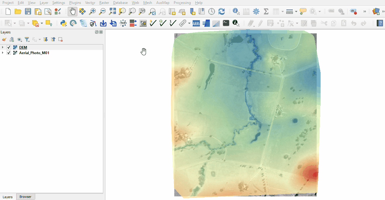
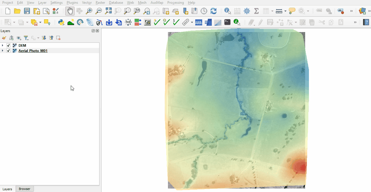
| + | <li>Right click on the tool bar and ensure that 'Plugins Toolbar' is turned on.<br> | ||
<br> | <br> | ||
| − | [[File: | + | [[File:Animation ProfileTool 0102.gif]]<br> |
| − | <br>< | + | <br> |
| − | + | </ol> | |
| + | |||
| + | == Use == | ||
| + | |||
| + | <ol> | ||
| + | <li>Open the Profile Tool by clicking on the 'Terrain Profile' icon. | ||
| + | <li>Select the raster from the layer control panel and click 'Add Layer' in the Profile Tool. Multiple layers may be added. | ||
| + | <li>There are many selection options, the below example uses a temporary polyline. Finish the line by double clicking. <br> | ||
| + | <br> | ||
| + | [[File:Animation ProfileTool 03.gif]] | ||
| + | </ol> | ||
| + | |||
<br> | <br> | ||
| − | |||
<br> | <br> | ||
| − | [[ | + | {{Tips Navigation |
| + | |uplink=[[QGIS_Tips | Back to QGIS Tips And Tricks]] | ||
| + | }} | ||
Latest revision as of 12:14, 7 January 2022
Profile Tool
In QGIS the grid elevation profile can be viewed using the Profile Tool plugin.
Installation
To install the Profile Tool:
- Go to Plugins > Manage and Install Plugins.
- Type 'Profile Tool' in the search bar.
- Click Install Plugin.
- It is recommended to close all QGIS workspaces and re-open the app.
- Right click on the tool bar and ensure that 'Plugins Toolbar' is turned on.

Use
- Open the Profile Tool by clicking on the 'Terrain Profile' icon.
- Select the raster from the layer control panel and click 'Add Layer' in the Profile Tool. Multiple layers may be added.
- There are many selection options, the below example uses a temporary polyline. Finish the line by double clicking.

| Up |
|---|