Tutorial M06 003 Results QGIS: Difference between revisions
Jump to navigation
Jump to search
Content deleted Content added
Created page with "=Introduction= QGIS is used to view the cumulative rainfall, rainfall rate and material rainfall losses with the TUFLOW Viewer. For viewing of the 2D map results, see <u>Dra..." |
|||
| Line 1: | Line 1: | ||
=Introduction= |
=Introduction= |
||
QGIS is used to view the cumulative rainfall, rainfall rate and material rainfall losses with the TUFLOW Viewer. For viewing of the 2D map results, see <u>[[ |
QGIS is used to view the cumulative rainfall, rainfall rate and material rainfall losses with the TUFLOW Viewer. For viewing of the 2D map results, see <u>[[Tutorial_M01_Results_QGIS | Module 1]]</u>.<br> |
||
<br> |
<br> |
||
Revision as of 00:13, 11 May 2022
Introduction
QGIS is used to view the cumulative rainfall, rainfall rate and material rainfall losses with the TUFLOW Viewer. For viewing of the 2D map results, see Module 1.
Method
Inspect cumulative rainfall and rainfall rate outputs:
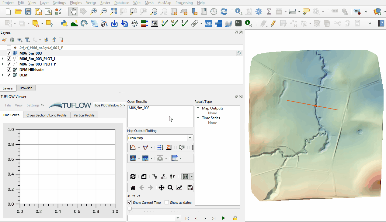
- Open the TUFLOW Viewer.
- Select File > Load Results. Navigate to the M06_5m_003.tcf in the Module_06\TUFLOW\runs folder and open it.
- Use the Plot Time Series tool to see the time series of the cumulative rainfall and rainfall rate. Notice they vary spatially based on the distance to the points within the 2d_rf point file:

Conclusion
- The cumulative rainfall and rainfall rate derived from gridded rainfall were inspected with the TUFLOW Viewer.
- The cumulative rainfall and rainfall rate derived from gridded rainfall were inspected with the TUFLOW Viewer.
| Up |
|---|