Difference between revisions of "Arc Creating Water Level Lines"
Chris Huxley (talk | contribs) (Created page with "1D domain results can be output in combination with 2D domain(s) by using the 1d_wll GIS layer and the Read GIS WLL .ecf command. 1d_wll GIS layer(s) are used to define and c...") |
(No difference)
|
Revision as of 04:54, 17 November 2015
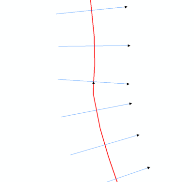
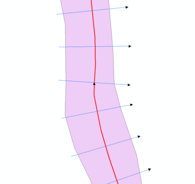
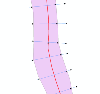
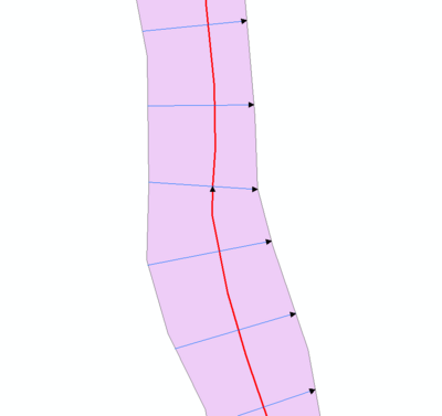
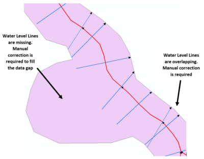
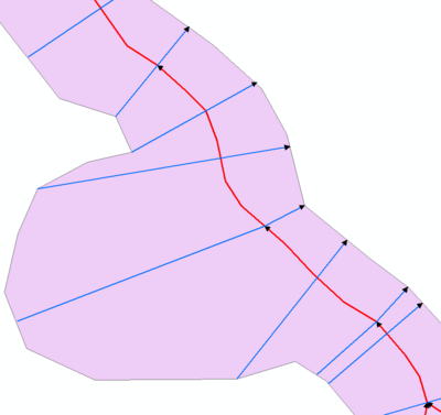
1D domain results can be output in combination with 2D domain(s) by using the 1d_wll GIS layer and the Read GIS WLL .ecf command. 1d_wll GIS layer(s) are used to define and control the 1D map output. The layer(s) contain lines Water Level Lines that cross 1D channels and/or nodes. A Water Level Lines is essentially a line of horizontal water level, and should be digitised on this basis (ie. perpendicular to the flow direction).
The direction of digitising the Water Level Lines is important. They must be from left to right looking in the positive direction of the channel.
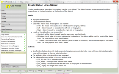
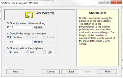
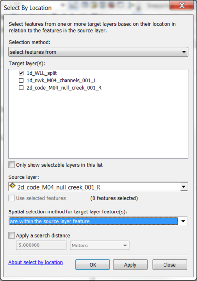
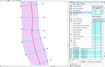
The ArcGIS tool ET GeoWizard can be used to help automate Water Level Line digitising. ET GeoWizard can be downloaded from http://www.ian-ko.com/ET_GeoWizards/gw_demo.htm.
- Digitise the 1D channels in the 1d_nwk file
- Open ET GeoWizard
- Select Miscellaneous >> Create Station Lines
- Create Water Level Lines of a fixed length and spacing