Tutorial M10 003 GIS Inputs QGIS: Difference between revisions
Jump to navigation
Jump to search
Content deleted Content added
Created page with "= Introduction = QGIS is used to create, import and view input data.<br> <br> = Method = Navigate to the '''Module_10\Tutorial_Data''' folder. Copy and save all the below la..." |
|||
| Line 24: | Line 24: | ||
:*Height_or_WF = Height of the piping orifice when fully breached.<br> |
:*Height_or_WF = Height of the piping orifice when fully breached.<br> |
||
<br> |
<br> |
||
[[File:Animation M10 003 GIS |
[[File:Animation M10 003 GIS 01h.gif]]<br> |
||
<br> |
<br> |
||
<li>The 1d_nwk_M10_dambreak_003_L layer represents a 1D operational channel to model dam break in 1D: |
<li>The 1d_nwk_M10_dambreak_003_L layer represents a 1D operational channel to model dam break in 1D: |
||
| Line 36: | Line 36: | ||
See Section 2.2.1 of the <u>[https://downloads.tuflow.com/TUFLOW/Releases/2020-10/TUFLOW%20Release%20Notes.2020-10-AD.pdf Release Notes]</u> for more information on the attributes.<br> |
See Section 2.2.1 of the <u>[https://downloads.tuflow.com/TUFLOW/Releases/2020-10/TUFLOW%20Release%20Notes.2020-10-AD.pdf Release Notes]</u> for more information on the attributes.<br> |
||
<br> |
<br> |
||
[[File:Animation M10 003 GIS |
[[File:Animation M10 003 GIS 02h.gif]]<br> |
||
<br> |
<br> |
||
<li>The 2d_bc layer use SX type connection to link 1D elements into the 2D domain. It removes water out of the upstream cell(s) and deposits water back at the downstream cell(s). The line SX links need a CN (connection) line snapped from the upstream and downstream vertex of the 1D network line to the SX boundary. <br> |
<li>The 2d_bc layer use SX type connection to link 1D elements into the 2D domain. It removes water out of the upstream cell(s) and deposits water back at the downstream cell(s). The line SX links need a CN (connection) line snapped from the upstream and downstream vertex of the 1D network line to the SX boundary. The length of the SX line is sufficient to match the width of the DF channel: <br> |
||
<br> |
<br> |
||
[[File:Animation M10 003 GIS |
[[File:Animation M10 003 GIS 03h.gif]]<br> |
||
<br> |
<br> |
||
</ol> |
</ol> |
||
Revision as of 20:26, 13 May 2022
Introduction
QGIS is used to create, import and view input data.
Method
Navigate to the Module_10\Tutorial_Data folder. Copy and save all the below layers into the Module_10\TUFLOW\model\gis folder:
- 1d_nwk_M10_piping_003_L
- 1d_nwk_M10_dambreak_003_L
- 2d_bc_M10_piping_dambreak_003_L
Investigate the supplied files:
- Open the files, either:
- Drag and drop the .shp files into the QGIS workspace; or
- Select Layer > Add layer > Add Vector Layer and navigate to the Module_10\TUFLOW\model\gis folder.
- The 1d_nwk_M10_piping_003_L layer represents piping through the dam wall:
- ID = Unique Channel ID.
- Type = 'PF'.
- n_nF_Cd = '0.015'.
- US_Invert = Inlet elevation of the piping.
- DS_Invert = Outlet elevation of the piping.
- Inlet_Type = Refers to the Piping Failure operational control definition in .toc file.
- Width_or_Dia = Width of the piping orifice when fully breached.
- Height_or_WF = Height of the piping orifice when fully breached.
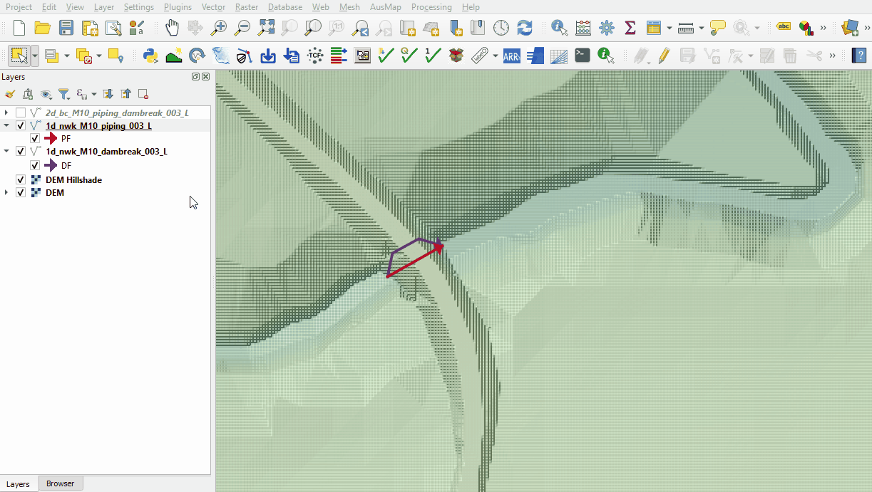
- The 1d_nwk_M10_dambreak_003_L layer represents a 1D operational channel to model dam break in 1D:
- ID = Unique Channel ID.
- Type = 'DF'.
- n_nF_Cd = '0.015'.
- US_Invert = Elevation of the dam crest level before failure.
- Inlet_Type = Refers to the Dam Failure operational control definition in .toc file.
- Width_or_Dia = Top width of the dam failure channel.
- Height_or_WF = Weir coefficient Cd of the intact part.
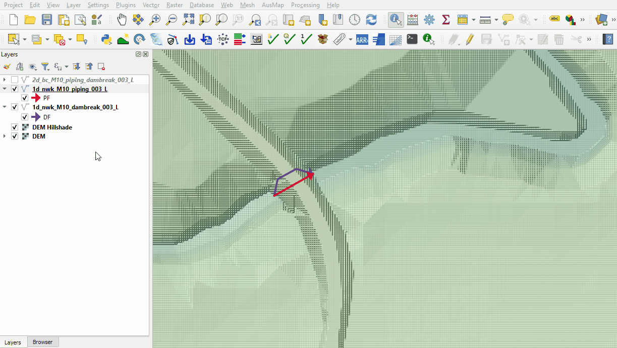
- The 2d_bc layer use SX type connection to link 1D elements into the 2D domain. It removes water out of the upstream cell(s) and deposits water back at the downstream cell(s). The line SX links need a CN (connection) line snapped from the upstream and downstream vertex of the 1D network line to the SX boundary. The length of the SX line is sufficient to match the width of the DF channel:
File:Animation M10 003 GIS 03h.gif


Conclusion
- The 1D piping and 1D dam break layers were inspected.
- The layers connecting the 1D to the 2D were reviewed.
| Up |
|---|