Tutorial M04 Results QGIS: Difference between revisions
Jump to navigation
Jump to search
Content deleted Content added
| Line 35: | Line 35: | ||
:*A plot was made showing structure flow and the upstream and downstream water levels at layered flow constriction. |
:*A plot was made showing structure flow and the upstream and downstream water levels at layered flow constriction. |
||
:*The _SHmx csv file was inspected showing a summary of the structure when the upstream water level reached its maximum. |
:*The _SHmx csv file was inspected showing a summary of the structure when the upstream water level reached its maximum. |
||
:*For further functionality, see <u>[[TUFLOW_Viewer | TUFLOW Viewer]]</u>. |
|||
<br> |
<br> |
||
Revision as of 11:16, 13 April 2023
Introduction
QGIS is used to view the head loss across the 2D bridge with the TUFLOW Viewer. For viewing of the 2D map results, see Module 1.
Method
Plot head loss across the 2D bridge:
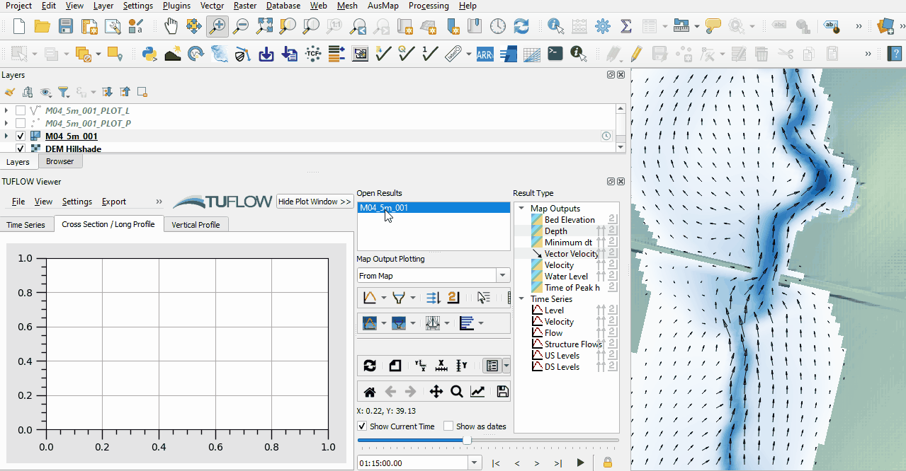
- Open the TUFLOW viewer.
- Select File > Load Results. Navigate to the M04_5m_001.tcf in the Module_04\TUFLOW\runs folder and open it.
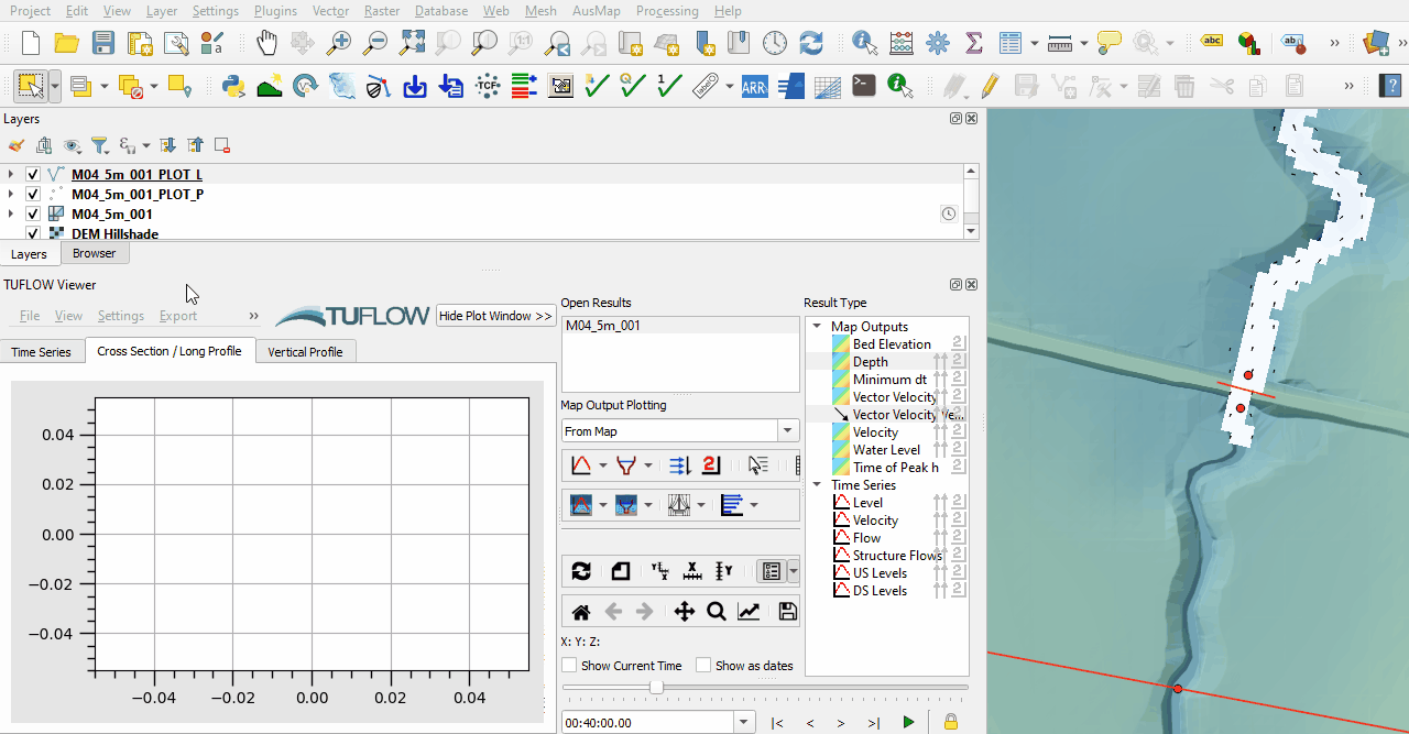
- Use the Plot Cross Section tool to see head loss across the 2d_lfcsh:

Review structure group outputs:
- Plot the structure flow and the upstream and downstream water levels:
- Navigate to Module_04\TUFLOW\results\plot\csv and open M04_5m_001_SHmx.csv. It contains a summary of each structure when the upstream water level reaches its maximum. The output columns include:
- Flow, area and average velocity for below and above deck.
- Total flow, area and average velocity for the whole structure.
- Upstream and downstream water levels and the head drop across the structure (i.e. upstream minus downstream water level).
- The time this data was recorded (i.e. the time the upstream water level peaked).


Conclusion
- The plot cross-section tool was used to view the head loss across the layered flow constriction.
- A plot was made showing structure flow and the upstream and downstream water levels at layered flow constriction.
- The _SHmx csv file was inspected showing a summary of the structure when the upstream water level reached its maximum.
- For further functionality, see TUFLOW Viewer.
| Up |
|---|