Tutorial M10 004 Results QGIS: Difference between revisions
Jump to navigation
Jump to search
Content deleted Content added
| Line 12: | Line 12: | ||
<li>Use the Plot Time Series tool to see the time series of the water level at the location downstream of the dambreak hydrograph. The timeseries follows a pattern similar to the inflow hydrograph:<br> |
<li>Use the Plot Time Series tool to see the time series of the water level at the location downstream of the dambreak hydrograph. The timeseries follows a pattern similar to the inflow hydrograph:<br> |
||
<br> |
<br> |
||
[[File: |
[[File:Animation_M10_004_Results_01a.gif]]<br> |
||
</ol><br> |
</ol><br> |
||
Revision as of 16:29, 21 April 2023
Introduction
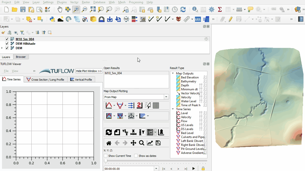
QGIS is used to view the depth, velocity and water levels with the TUFLOW Viewer. For viewing of the 2D map results, see Module 1.
Method
Inspect depth, velocity and water level outputs:
- Open the TUFLOW Viewer.
- Select File > Load Results. Navigate to the M10_5m_004.tcf in the Module_10\TUFLOW\runs folder and open it.
- Select the 'Depth' and 'Vector Velocity' map outputs in the Result Type panel.
- Use the Plot Time Series tool to see the time series of the water level at the location downstream of the dambreak hydrograph. The timeseries follows a pattern similar to the inflow hydrograph:

Conclusion
- The depth, velocity and water levels were inspected over time.
- For further functionality, see TUFLOW Viewer.
| Up |
|---|