Tutorial M08 002 Check Files QGIS
Introduction
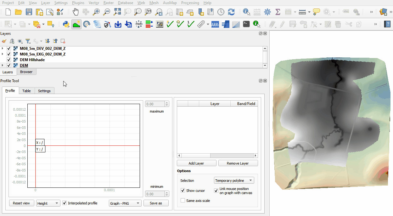
QGIS is used to import the check files and review the modified elevations between both model runs.
Method
This tutorial introduces:
Review the check files:
- Open the following files from the Module_08\TUFLOW\check folder:
- M08_5m_EXG_002_DEM_Z.flt
- M08_5m_DEV_002_DEM_Z.flt
- The DEM_Z grid shows the final elevations including any topographic modifications used for the model calculations.
- Use the Profile Tool plugin to compare the DEM_Z files:

Conclusion
- The topographic modifications representing different development sites were assessed using the Profile Tool.
| Up |
|---|