Tutorial M02 002 Check Files QGIS
Introduction
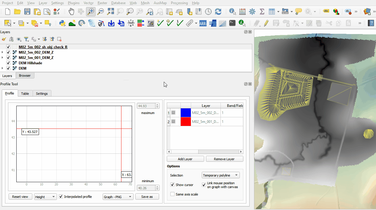
QGIS is used to import the check files and review the modified elevations between both model runs.
Method
This tutorial introduces:
Review the check files:
- Open the following files from the Module_02\TUFLOW\check folder:
- M02_5m_001_DEM_Z.flt
- M02_5m_002_DEM_Z.flt
- M02_5m_002_sh_obj_check_R.shp
- Use the 'Apply TUFLOW Styles to Open Layers'.
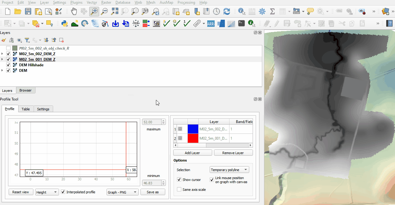
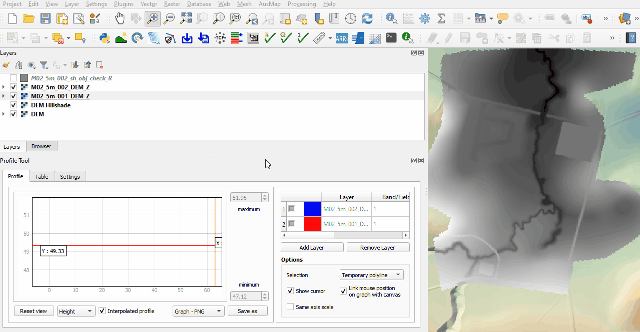
- The DEM_Z grid shows the final elevations including any topographic modifications used for the model calculations.
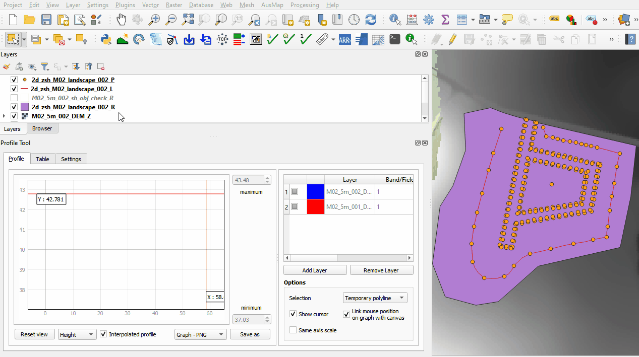
- The sh_obj_check file displays the TIN triangles created by TUFLOW during the model initialisation and is useful to review for all merge polygons.
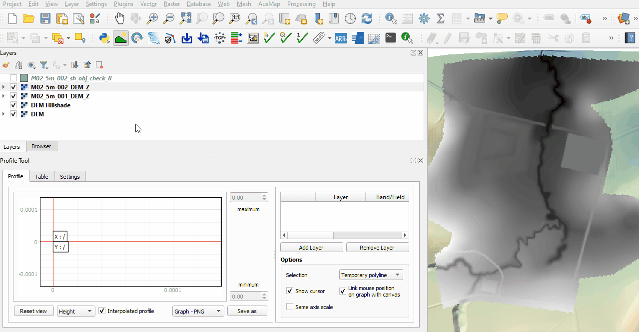
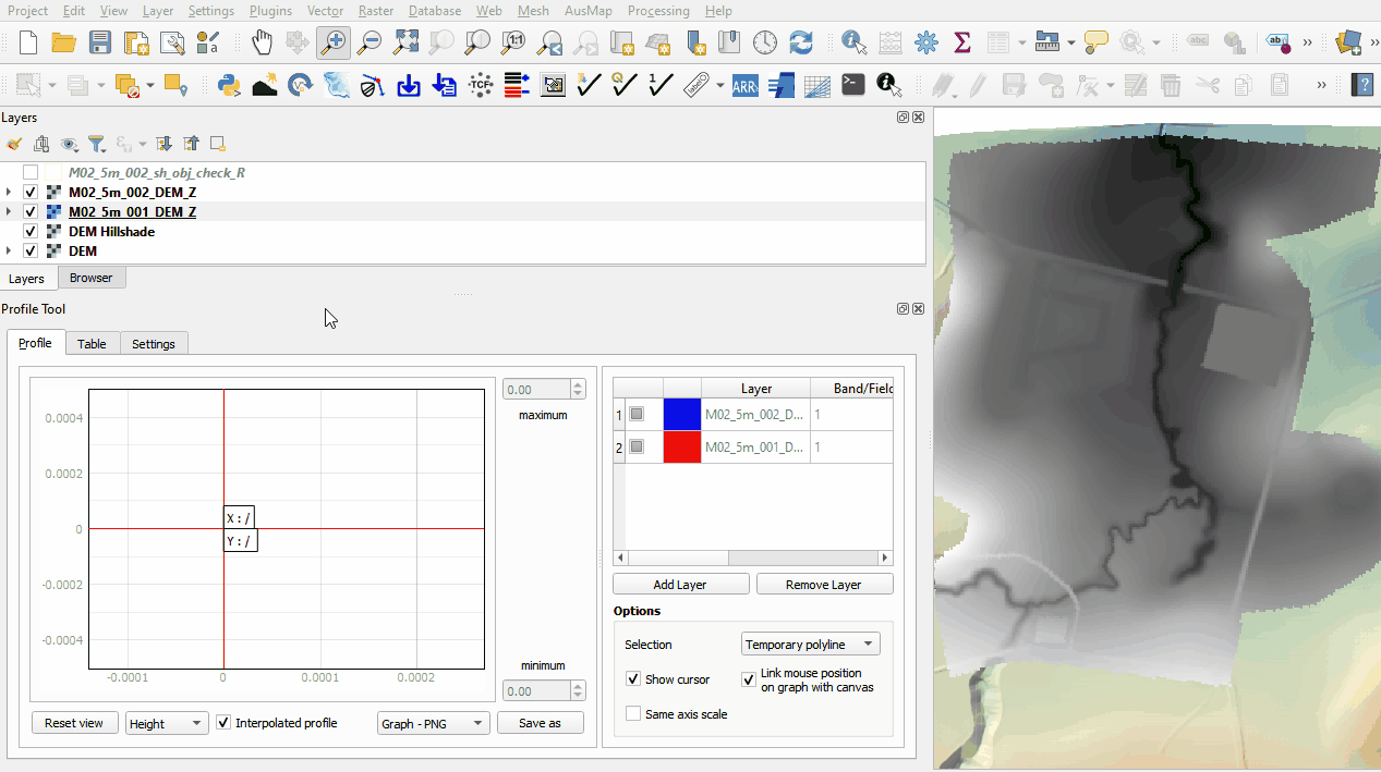
- Use the Profile Tool plugin to compare the DEM_Z files from both model runs.
- The first no merge region raises all elevation points to a single value.
- The second no merge region adds a specified value to all elevation points.
- The merge region used for the farm dam rehabilitation interpolates between all perimeter elevation points.
- The merge region with negative Shape_Option attribute cuts through the embankment. The manually added vertices allow the modification to follow the cross section of the channel.
- Zoom to the landscape files and review the TIN triangles and elevations created by the points, line and region using the merge option.


Conclusion
- The topographic modifications representing different development sites were assessed using the Profile Tool.
| Up |
|---|