Tutorial M01 Time Series Plot Output QGIS GPKG
Page Under Construction
Introduction
QGIS is used to create time series plot outputs. Two types are described:
- 2d_po line object - records flow (Q_) across the line; and
- 2d_po point object - records water level (H_) and velocity (V_) in the cell where the point falls into.
Method
Create 2d_po line layer with the TUFLOW plugin:
- Click on the ‘Import Empty File’ symbol from the TUFLOW plugin toolbar.
- Select '2d_po' from the Empty Type list.
- In the Run ID box write 'M01_001'.
- Tick the 'Lines' Geometry Type.
- In the Spatial Database Options, select 'All to one'. Navigate to the Module_01/TUFLOW/model/gis folder and select M01_001.gpkg. Click Save and hit 'OK'.
- The 2d_po_M01_001_L appears in the Layers panel.
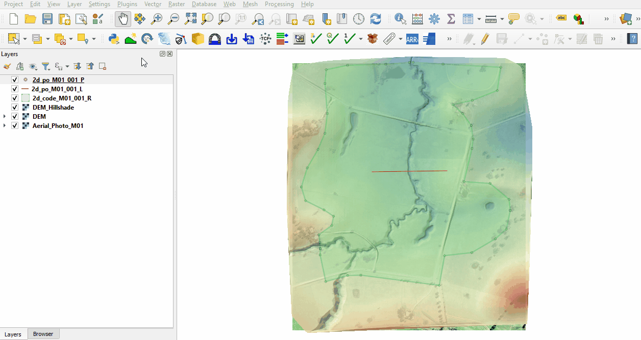
Digitise a plot output line from left to right looking downstream. The direction of the line is important, the opposite direction would produce negative values:
- Make the layer editable and select ‘Add Line Feature’.
- Digitise a line from left to right looking downstream across the floodplain and channel.
- Populate the attribute table as follows:
- Type = Q_
- Label = Loc1_L
- Toggle the editing off to save the edits.


Create 2d_po point layer with the TUFLOW plugin:
- Click on the ‘Import Empty File’ symbol from the TUFLOW plugin toolbar.
- Select 2d_po from the Empty Type list.
- In the Run ID box write 'M01_001'.
- Tick the 'Points' Geometry Type.
- In the Spatial Database Options, select 'All to one'. Navigate to the Module_01/TUFLOW/model/gis folder and select M01_001.gpkg. Click Save and hit 'OK'.
- The 2d_po_M01_001_P appears in the Layers panel.
Digitise a plot output point in the channel where the 2d_po line crosses the channel:
- Make the layer editable and select ‘Add Point Feature’.
- Digitise a point within the channel where the line crosses the channel.
- Populate the attribute table as follows:
- Type = H_V_
- Label = Loc1_P
- Toggle the editing off to save the edits.

Conclusion
- The 2d_po layers were created, containing a line recording flow across the line and point recording water level and velocity.
| Up |
|---|