Tutorial M08 002 GIS Inputs QGIS GPKG
Page Under Construction
Introduction
QGIS is used to create, import and view input data.
Method
Navigate to the Module_08\Tutorial_Data folder. Copy and save all the below layers into the Module_08\TUFLOW\model\gis folder:
- 2d_zsh_M02_landscape_002_L
- 2d_zsh_M02_landscape_002_P
- 2d_zsh_M02_landscape_002_R
- 2d_mat_M02_landscape_002_R
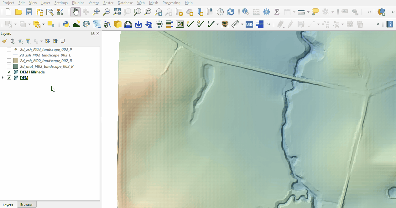
Investigate the supplied files:
- Open the files, either:
- Drag and drop all .shp files into the QGIS workspace, or
- Select Layer > Add layer > Add Vector Layer and navigate to the Module_08\TUFLOW\model\gis folder.
- The 2d_zsh landscape files create a TIN elevation footprint of the development. The 2d_mat file contains polygons that represent the updated land use due to the topography changes. See Module 2 for more information.

Conclusion
- Complex development site with TIN functionality was supplied and inspected.
- The 2d_mat layer was reviewed defining the spatial extents for new land use categories.
| Up |
|---|