QGIS Create a TIN
Page Under Construction
Introduction
Method
This example uses the DEM and GIS files from Tutorial Module 2 (part 2).
Densify Merge Polygon Vertices
Densify the merge polygon vertices using the QGIS processing tool 'Densify by Interval'.
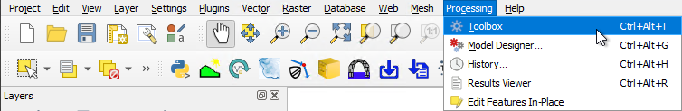
- In QGIS, go to Processing > Toolbox from the top dropdown menu options to open the Processing Toolbox.
- Go to 'Vector geometry' in the processing tool list and select 'Densify by interval'. This opens the dialog shown below:
- Input layer: Select the merge polygon (e.g. 2d_zsh_M02_landscape_002_R)
- Interval between vertices to add: This value should set to the smaller of the following two values - half the model cell size, or the finest quadtree level.
- Densified: Leave as default.
- Tick on 'Open output file after running algorithm'.
- Click 'Run'. Once the tool is finished, click 'Close'.

- The resulting layer, called Densified will appear in the QGIS Layers panel. This is a copy of the merge polygon, now updated with additional vertices based on the specified interval.
- In the QGIS Layers panel, right click Densified and select 'Rename Layer'. Rename the layer to Densified_Polygon.
Note: To see the vertices, toggle on editing for Densified_Polygon and select the 'Vertex Tool' from the Digitizing toolbar. Hover over the polygon to see the vertices.


