GeoRiver Tips
PAGE UNDER CONSTRUCTION
Introduction
GeoRiver® is hydraulic model preparation software that imports data from a multitude of 3rd party formats and has an array of efficient tools to enhance the data before exporting Tuflow ready files. The software has been developed through a partnership between JBA Consulting Ltd and Storm Geomatics Ltd and aims to reduce flooding by providing greater efficiencies and quality in preparing source data for hydraulic models. Tuflow users can enjoy a 3 month trial licence of the software for free by contacting Mike Hopkins on (mike.hopkins@storm-geomatics.com). This offer is available to companies who haven’t yet held a GeoRiver® licence. Below is a brief look at how data is imported into GeoRiver®, how it is enhanced and how to export the Tuflow files.
Importing Data into GeoRiver®
Apart from importing simple XYZ geospatial data, GeoRiver® allows the user to import pre-existing hydraulic model data. At present it is possible to import data from HEC-RAS, Flood Modeller Pro, MIKE11 and EACSD text files. To do this use the drop down menu on the main icon toolbar as shown below.

Tools to efficiently enhance your data
Here are just a few tools that are used for more efficient hydraulic model preparation.
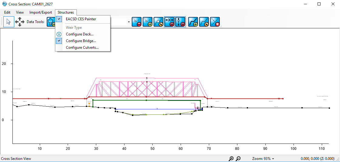
The cross section dxf out/dxf in function is valuable if you do not have a GeoRiver® model with structures already built and have structures on 2D survey/archive drawings that you want to get across to Tuflow. By having the ability to transfer your GeoRiver® cross sections back and forth to CAD allows the user to easily combine cross sections with structure geometry and then utilise within GeoRiver®.