Difference between revisions of "Tutorial M08 002 GIS Inputs QGIS GPKG"
Jump to navigation
Jump to search
(→Method) |
(→Method) |
||
| Line 12: | Line 12: | ||
</ol> | </ol> | ||
| − | Within the QGIS Browser Panel, navigate to the '''Module_08\Tutorial_Data''' folder. Drag and drop the following layers into the '''M08_002.gpkg''': | + | Within the QGIS Browser Panel, navigate to the '''Module_08\Tutorial_Data''' folder. Drag and drop the following layers from their separate databases into the '''M08_002.gpkg''' database: |
:*'''2d_zsh_M02_landscape_002_L''' | :*'''2d_zsh_M02_landscape_002_L''' | ||
:*'''2d_zsh_M02_landscape_002_P''' | :*'''2d_zsh_M02_landscape_002_P''' | ||
Revision as of 20:42, 13 July 2023
Page Under Construction
Introduction
QGIS is used to create, import and view input data.
Method
Set up the GeoPackage Database:
- Navigate to the Module_08\TUFLOW\model\gis folder. Save a copy of M02_001.gpkg as M08_002.gpkg.
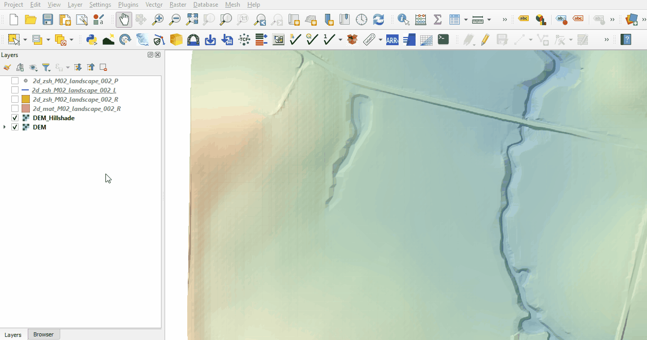
Within the QGIS Browser Panel, navigate to the Module_08\Tutorial_Data folder. Drag and drop the following layers from their separate databases into the M08_002.gpkg database:
- 2d_zsh_M02_landscape_002_L
- 2d_zsh_M02_landscape_002_P
- 2d_zsh_M02_landscape_002_R
- 2d_mat_M02_landscape_002_R
Investigate the supplied files:
- Open the files, either:
- Within the QGIS Browser Panel, navigate to M08_002.gpkg and double click the layers, or
- In File Explorer, drag and drop the M08_002.gpkg into the QGIS workspace and select the layers (hold Ctrl to select multiple).
- The 2d_zsh landscape files create a TIN elevation footprint of the development. The 2d_mat file contains polygons that represent the updated land use due to the topography changes. See Module 2 for more information.

Conclusion
- Complex development site with TIN functionality was supplied and inspected.
- The 2d_mat layer was reviewed defining the spatial extents for new land use categories.
| Up |
|---|