Difference between revisions of "Tutorial M10 003 Results QGIS"
Jump to navigation
Jump to search
(→Method) |
(→Method) |
||
| Line 13: | Line 13: | ||
<li>Use the Plot Time Series tool to see the time series of the flow at the location of the piping failure and dam failure. The time series shows the initial piping failure, followed by the dam failure:<br> | <li>Use the Plot Time Series tool to see the time series of the flow at the location of the piping failure and dam failure. The time series shows the initial piping failure, followed by the dam failure:<br> | ||
<br> | <br> | ||
| − | [[File:Animation M10 003 Results | + | [[File:Animation M10 003 Results 01c.gif]]<br> |
</ol><br> | </ol><br> | ||
Revision as of 23:37, 13 May 2022
Introduction
QGIS is used to view the depth, velocity and water levels with the TUFLOW Viewer. For viewing of the 2D map results, see Module 1.
Method
Inspect depth, velocity and water level outputs:
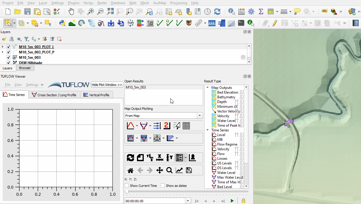
- Open the TUFLOW Viewer.
- Select File > Load Results. Navigate to the M10_5m_003.tcf in the Module_10\TUFLOW\runs folder and open it.
- When prompted to open result GIS layers click 'Yes'.
- Select the 'Depth' and 'Vector Velocity' map output type in the Result Type panel.
- Use the Plot Time Series tool to see the time series of the flow at the location of the piping failure and dam failure. The time series shows the initial piping failure, followed by the dam failure:

Conclusion
- The depth, velocity and flow were inspected over time at the location of the piping and dam failure.
- The depth, velocity and flow were inspected over time at the location of the piping and dam failure.
| Up |
|---|