SAGA Creating a Grid from Points
Jump to navigation
Jump to search
- Open the points shapes layer that you wish to create a grid from.
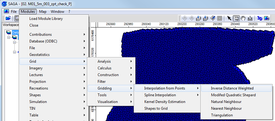
- From the menu items select Modules >> Grid >> Gridding >> Interpolation from Points >> Inverse Distance Weighted.
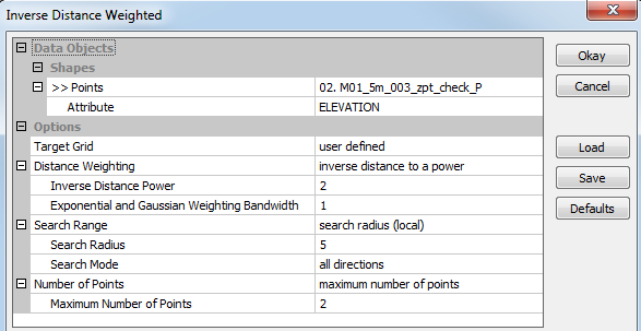
- In the IDW dialogue set the following parameters:
- Points - The desired Points Shapefile
- Attribute - The attribute field to use
- Distance weighting Parameters - Set these as desired
- Search Radius - Set this to the cell size (to avoid the gird extending beyond the data)
- Maximum Number of Points - The higher the value the more smoothing (for a DEM from zpt_check file use a small number)
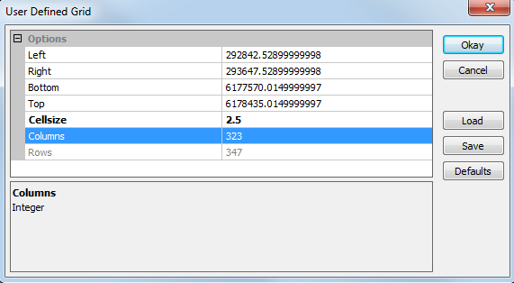
- Set the cell size for the resultant grid, for a DEM from a _zpt_check_P.shp use half the TUFLOW cell size. The other parameters are automatically determined from the input data.
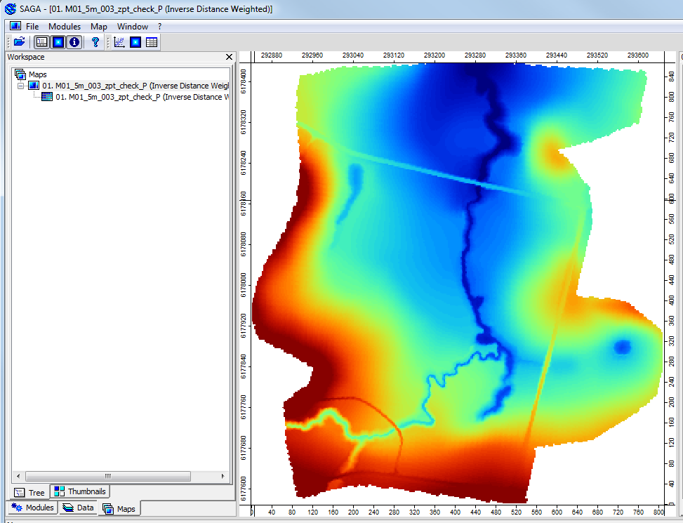
- A new grid has been created, add this to a map to view.
Introduction
This is an excellent way of visualising check files such as the _zpt_check.mif that is written by TUFLOW. This check file is outputted after all elevation data and topography modifiers (breaklines, z zhapes etc) have been processed. This method can also be applied to other data, such as survey data to create a DEM.
The are a number of gridding methods available (such as triangulation, inverse distance weighted and nearest neighbour), in the method detailed below inverse distance weighted will be used. Feel free to experiment with the other options.
Method


| Up |
|---|