TUFLOW Viewer - Map Outputs - 3D to 2D Depth Averaging Method
Jump to navigation
Jump to search
Tool Description
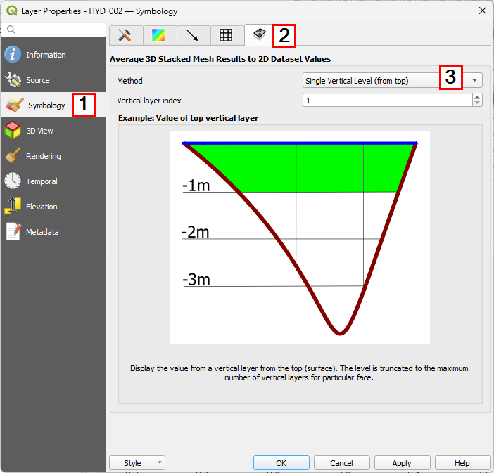
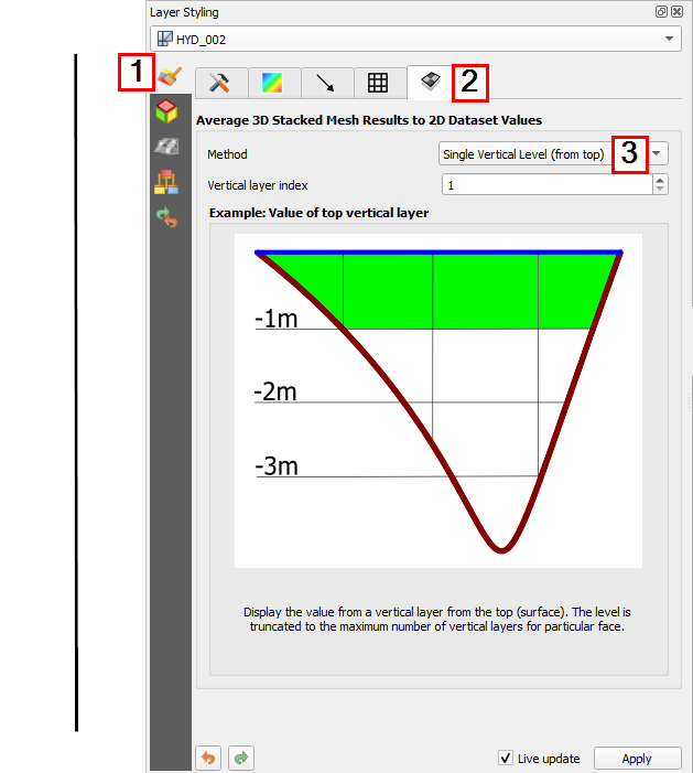
For 3D map outputs, the 2D depth averaged value diplayed in the QGIS map window can be changed in the layer properties. The layer properties can be opened either by pressing F7 to open the properties docking window, or by right clicking the layer in the Layers Panel and selection "Properties".
- Symbology tab - where the styling options are located in the properties dialog/docking window.
- 3D to 2D depth averaging settings tab
- Drop down to change the 3D to 2D depth averaging method
Example
| Up |
|---|

