Tutorial M10 004 Check Files QGIS GPKG: Difference between revisions
Jump to navigation
Jump to search
Content deleted Content added
Created page with "<span style="color:#FF0000"> <font size = 18>Page Under Construction</font> </span> = Introduction = QGIS is used to import check files and review the dambreak hydrograph.<br>..." |
(No difference)
|
Revision as of 15:42, 15 June 2023
Page Under Construction
Introduction
QGIS is used to import check files and review the dambreak hydrograph.
Method
This tutorial introduces:
Review the check files:
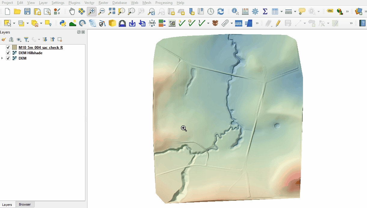
- Open the following files from the Module_10\TUFLOW\check folder:
- M10_5m_004_sac_check_R.shp
- Use the 'Apply TUFLOW Styles to Open Layers' from the TUFLOW toolbar.
- The sac_check is related to the 2d_sa boundary layer and, by default, shows the lowest cell selected by the 2d_sa polygon and is where the dambreak hydrograph is applied.

Conclusion
- The sac_check revealed the location of the applied hydrograph.
| Up |
|---|