Tute M01 Active Areas Arc Archive: Difference between revisions
Jump to navigation
Jump to search
Content deleted Content added
Created page with "== Introduction == This page details the method for using ArcMap to set an active model area. == Method == <li>Add the '''2d_code_empty_R.shp''' template file from the '''TU..." |
No edit summary |
||
| Line 20: | Line 20: | ||
== Conclusion == |
== Conclusion == |
||
ArcMap has been used to create a 2d_code layer which sets the code value for cells inside the boundary polygon to active (code = 1). Please return to the tutorial model module 1 page <u>[[ |
ArcMap has been used to create a 2d_code layer which sets the code value for cells inside the boundary polygon to active (code = 1). Please return to the tutorial model module 1 page <u>[[Tutorial_Module01_Archive#Define_Preliminary_Active_and_Inactive_Areas_of_the_2D_Domain|here]]</u>. |
||
Latest revision as of 12:44, 9 January 2023
Introduction
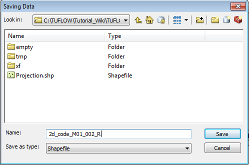
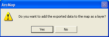
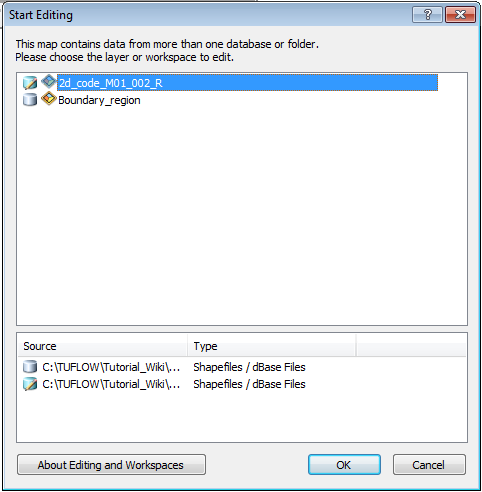
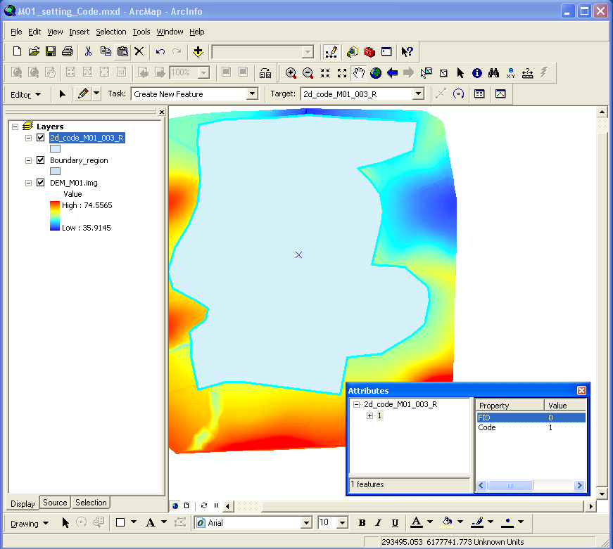
This page details the method for using ArcMap to set an active model area.
Method


Conclusion
ArcMap has been used to create a 2d_code layer which sets the code value for cells inside the boundary polygon to active (code = 1). Please return to the tutorial model module 1 page here.