Tutorial M06 003 GIS Inputs QGIS GPKG: Difference between revisions
Jump to navigation
Jump to search
Content deleted Content added
| Line 21: | Line 21: | ||
<li>The 2d_rf layer represents locations of the gauges. Inspect the attributes, the names are matching the names in the bc_dbase.<br> |
<li>The 2d_rf layer represents locations of the gauges. Inspect the attributes, the names are matching the names in the bc_dbase.<br> |
||
<br> |
<br> |
||
[[File: |
[[File:Animation_M06_GPKG_GIS_003_01.gif]]<br> |
||
<br> |
<br> |
||
</ol> |
</ol> |
||
Revision as of 15:59, 14 June 2023
Page Under Construction
Introduction
QGIS is used to create, import and view input data.
Method
Set up the GeoPackage Database:
- Navigate to the Module_06\TUFLOW\model\gis folder. Save a copy of M06_002.gpkg as M06_003.gpkg.
Within the QGIS Browser Panel, navigate to the Module_06\Tutorial_Data folder. Drag and drop the following layer into the M06_003.gpkg database:
- 2d_rf_M06_pt2grid_003_P
Investigate the supplied file:
- Open the file, either:
- Within the QGIS Browser Panel, navigate to M06_003.gpkg and double click the layer, or
- In File Explorer, drag and drop the M06_003.gpkg into the QGIS workspace and select the layer.
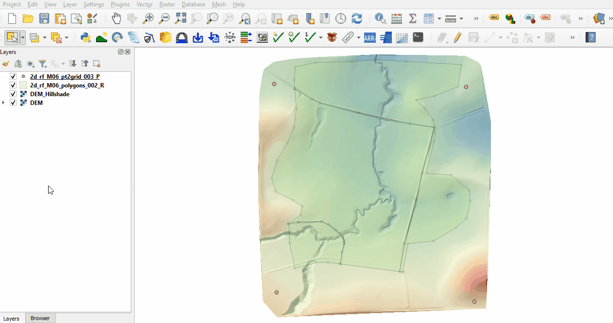
- The 2d_rf layer represents locations of the gauges. Inspect the attributes, the names are matching the names in the bc_dbase.

Conclusion
- The 2d_rf points layer for creating gridded rainfall was inspected.
| Up |
|---|