QGIS SWMM Junctions Downstream Junctions to Outfalls
Introduction
This tool converts junctions on the downstream side of a network to outfall nodes as required by SWMM. An outfall layer with the converted nodes will be created along with a modified junction layer (outfall nodes removed). The contents of these layers needs to be copied into the appropriate layers in the SWMM GeoPackage.
Note: This tool relies on the "From Node" and "To Node" fields to determine position in the network. The Conduits - Assign node fields processing tool will ensure the "From Node" and "To Node" fields are correctly assigned.
Usage
This tool, Junctions - Downstream junctions to outfalls, can be found in the QGIS processing toolbox panel under 'TUFLOW > SWMM'. To open the Processing Toolbox Panel, navigate to 'Processing' in the menubar and select 'Toolbox'.

Parameters
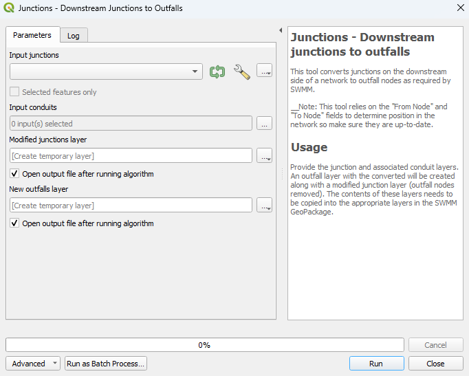
- Input junctions: The existing junctions layer to be converted. To only convert some of the junctions, tick on 'Selected features only'. The tool will only convert the junctions which have been selected.
- Input conduits: The conduits layer to which the junctions and outfalls are connected. To only convert the junctions from some of the conduit features, tick on 'Selected features only'. The tool will only convert the junctions of the conduits which have been selected.
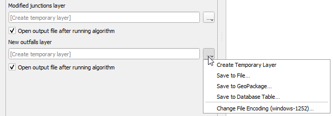
- Modified junctions layer: Determines the location and filename of the modified junctions layer (outfall nodes removed). Details on the options are below.
- New outfalls layer: Determines the location and filename of the new outfalls layer. Details on the options are below.
- Output Options:
- These options apply for both the 'Modified junctions layer' and the 'New outfalls layer' parameters. For each of the following options, the tool will output a new junctions/outfalls layer and won't override the existing one.
- Create Temporary Layer:
- Creates a temporary scratch layer. This layer will open into the QGIS workspace but it will not be saved anywhere.
- Create Temporary Layer:
- Save to File...:
- The user can navigate to a folder and save the new junctions/outfalls layer to a new GeoPackage Database.
- Save to File...:
- Save to GeoPackage...:
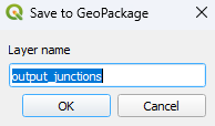
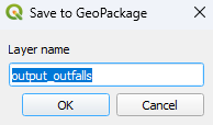
- The user can navigate to an existing GeoPackage Database. Once selected, a 'Layer Name' dialog will appear. Enter the new layer name, and the updated junctions/outfalls layer will be saved as that name in the GPKG.
- Save to GeoPackage...:
- Save to Database Table...:
- ???
- Save to Database Table...:
- Append to Layer...:
- ???
- Append to Layer...:

Example
| Up |
|---|


