Difference between revisions of "Tutorial M04 Check Files QGIS GPKG"
Jump to navigation
Jump to search
(→Method) |
|||
| Line 1: | Line 1: | ||
| − | |||
| − | |||
| − | |||
= Introduction = | = Introduction = | ||
QGIS is used to import the check files and review the topographic modification cutting through the embankment, and the layered flow constriction. <br> | QGIS is used to import the check files and review the topographic modification cutting through the embankment, and the layered flow constriction. <br> | ||
Revision as of 10:50, 14 August 2023
Introduction
QGIS is used to import the check files and review the topographic modification cutting through the embankment, and the layered flow constriction.
Method
This tutorial introduces:
Review the check files:
- Open the files, either:
- Within the QGIS Browser Panel, navigate to Module_04\TUFLOW\check\M04_5m_001_Check.gpkg and double click the following layers, or
- M04_5m_001_zsh_zpt_check_P
- M04_5m_001_lfcsh_uvpt_check_P
- In File Explorer, navigate to the Module_04\TUFLOW\check folder, drag and drop the M04_5m_001_Check.gpkg into the QGIS workspace and select the layers above (hold Ctrl to select multiple).
- Navigate to the Module_04\TUFLOW\check folder and open the M04_5m_001_DEM_Z.tif layer into QGIS.
- Use the 'Apply TUFLOW Styles to Open Layers'.
- Use the 'Apply GPKG Layer Names'.
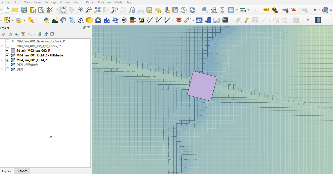
- The DEM_Z grid shows the final elevations used for the model calculations. Change the styling and inspect the area of the embankment is lowered. See Module 2 for more information on how to review topographic modifications. Note: The DEM_Z appears different to the input DEM as the resolution of the DEM_Z is coarser (2.5m) than the input file (0.5m).
- The zsh_zpt_check file displays the elevation points changed by Z shape topographic update and the TUFLOW styling provides an indication of the elevation difference.
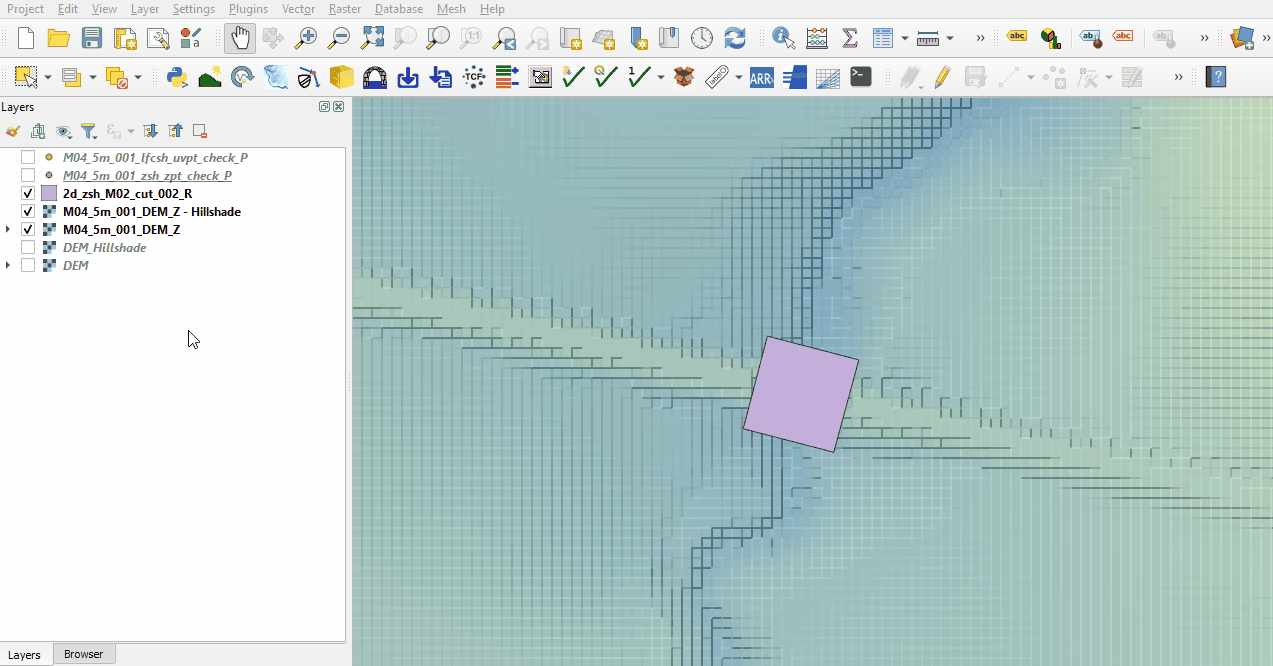
- The lfcsh_uvpt_check file shows the Zpts where the 2d_lfcsh is applied as a thin line. Only the cell sides have the flow constriction applied. The attribute table shows the values specified in the 2d_lfcsh and the final elevation of the invert level after applying the Z shape.


Conclusion
- The DEM_Z and zsh_zpt_check file was used to ensure the cut through was correctly applied to allow flow through the embankment.
- The lfcsh_uvpt_check was viewed showing the form losses and blockages applied to the thin line.
| Up |
|---|