Tutorial M08 002 GIS Inputs QGIS
Revision as of 23:42, 10 May 2022 by ElizaCollison (talk | contribs) (Created page with "= Introduction = QGIS is used to create, import and view input data.<br> <br> = Method = Navigate to the '''Module_08\Tutorial_Data''' folder. Copy and save all the below la...")
Introduction
QGIS is used to create, import and view input data.
Method
Navigate to the Module_08\Tutorial_Data folder. Copy and save all the below layers into the Module_08\TUFLOW\model\gis folder:
- 2d_zsh_M02_landscape_002_L
- 2d_zsh_M02_landscape_002_P
- 2d_zsh_M02_landscape_002_R
Investigate the supplied files:
- Open the files, either:
- Drag and drop all .shp files into the QGIS workspace, or
- Select Layer > Add layer > Add Vector Layer and navigate to the Module_08\TUFLOW\model\gis folder.
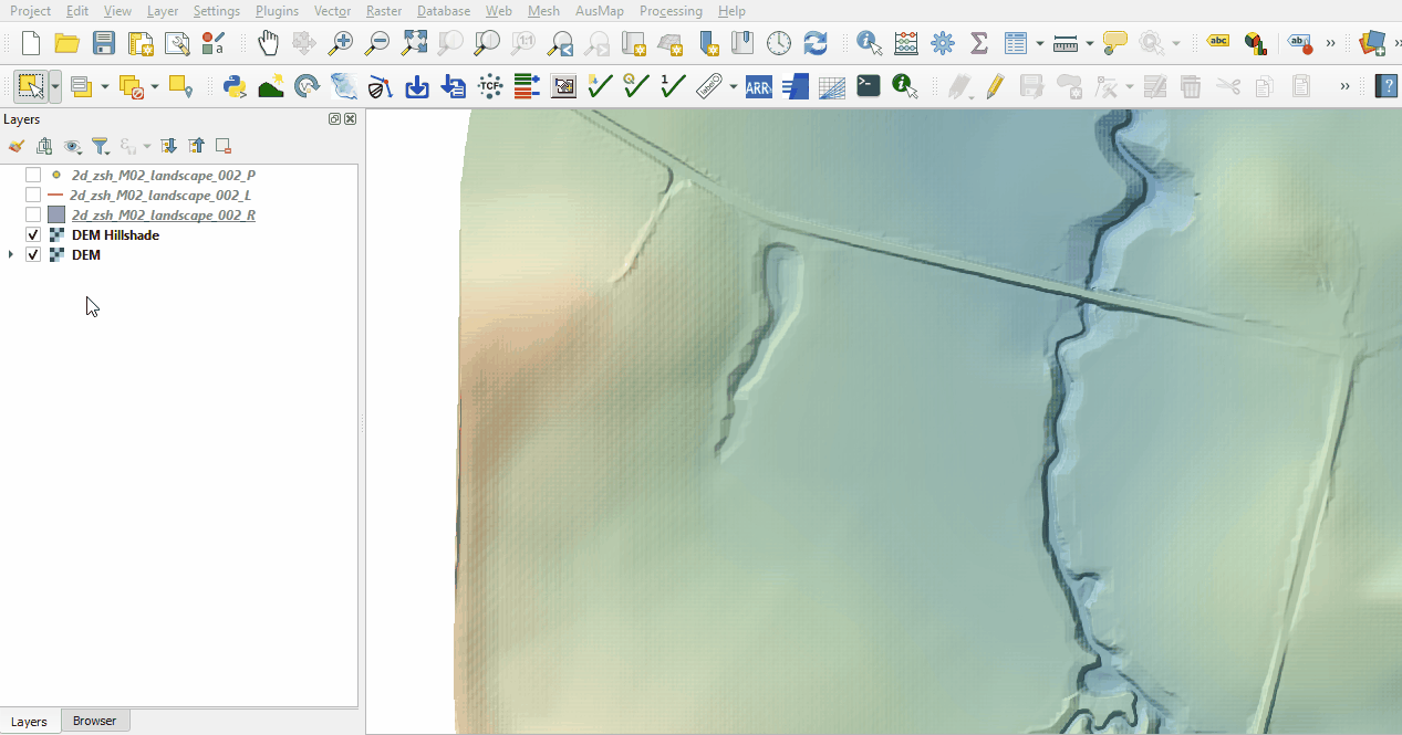
- The 2d_zsh landscape files create a TIN elevation footprint of the development, see Module 2 for more information.

Conclusion
- Complex development site with TIN functionality was supplied and inspected.
| Up |
|---|