Tutorial M10 004 Check Files QGIS
Revision as of 00:44, 11 May 2022 by ElizaCollison (talk | contribs) (Created page with "= Introduction = QGIS is used to import check files and review the dambreak hydrograph.<br> <br> =Method= This tutorial introduces: :*[[Check_Files_2d_sac | _sac_check_R.shp]...")
Introduction
QGIS is used to import check files and review the dambreak hydrograph.
Method
This tutorial introduces:
Review the check files:
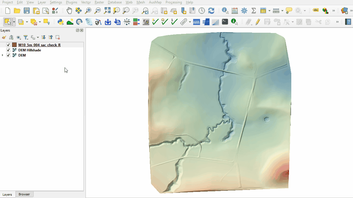
- Open the following files from the Module_10\TUFLOW\check folder:
- M10_5m_004_sac_check_R.shp
- Use the 'Apply TUFLOW Styles to Open Layers' from the TUFLOW toolbar.
- The sac_check is related to the 2d_sa boundary layer and, by default, shows the lowest cell selected by the 2d_sa polygon and is where the dambreak hydrograph is applied.

Conclusion
- The sac_check revealed the location of the applied hydrograph.
| Up |
|---|