Difference between revisions of "QGIS TUFLOW Insert TUFLOW Attributes to Existing Layer"
Ellis Symons (talk | contribs) |
Ellis Symons (talk | contribs) |
||
| Line 14: | Line 14: | ||
<li> '''Run ID''' - the name of the output file. The output file name will follow the same convention as the '''<u>[[QGIS_TUFLOW_Import_Empty | Import Empty Tool]]</u>''' - <empty_type>_<Run_ID>_<geometry_type><file_ext> - e.g. 1d_nwk_run_001_L.shp | <li> '''Run ID''' - the name of the output file. The output file name will follow the same convention as the '''<u>[[QGIS_TUFLOW_Import_Empty | Import Empty Tool]]</u>''' - <empty_type>_<Run_ID>_<geometry_type><file_ext> - e.g. 1d_nwk_run_001_L.shp | ||
</ol> | </ol> | ||
| + | Note: for 1d_nwk layers the tool may automatically update the empty type to 1d_nwke. The reason for this is that if a given 1d_nwk input into TUFLOW has 20 or more attribute fields, TUFLOW will interpret this as a 1d_nwke and therefore will produce an error if the 1d_nwke type isn't used. | ||
<br> | <br> | ||
===Example=== | ===Example=== | ||
Revision as of 18:58, 5 April 2022
This tool gives users the ability to insert the appropriate TUFLOW attributes infront of an existing GIS layer. The features in the existing layer will be maintained including all the existing attribute data which will be located after the TUFLOW attributes. This can be useful for keeping a record of the original data, and it also makes it easier for users to then map the appropriate data across into the TUFLOW attribute fields. Once the TUFLOW attributes have been populated, the layer can thgen be used directly in TUFLOW model (the old attributes are not required to be deleted prior to running in TUFLOW).
Running the Tool
The tool can be found in the TUFLOW Plugin toolbar, or via the QGIS menu Plugins >> TUFLOW >> Insert TUFLOW attributes to existing GIS layer

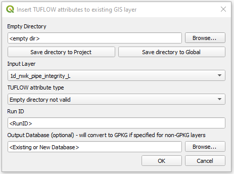
The setup of the tool is similar to the Import Empty Tool.
- Empty Directory - The user is required to choose the the directory where TUFLOW empty files are located - this will automatically be populated if the user has run the Configure Project tool, or has setup a global location, or has previously saved an empty file location.
- Input Layer - the existing GIS vector layer that will have TUFLOW attributes added to the front (it will create a new file and won't overwrite the existing file).
- TUFLOW attribute type - the TUFLOW empty layer that will be used as a template for which attribute types are required
- Run ID - the name of the output file. The output file name will follow the same convention as the Import Empty Tool - <empty_type>_<Run_ID>_<geometry_type><file_ext> - e.g. 1d_nwk_run_001_L.shp
Note: for 1d_nwk layers the tool may automatically update the empty type to 1d_nwke. The reason for this is that if a given 1d_nwk input into TUFLOW has 20 or more attribute fields, TUFLOW will interpret this as a 1d_nwke and therefore will produce an error if the 1d_nwke type isn't used.
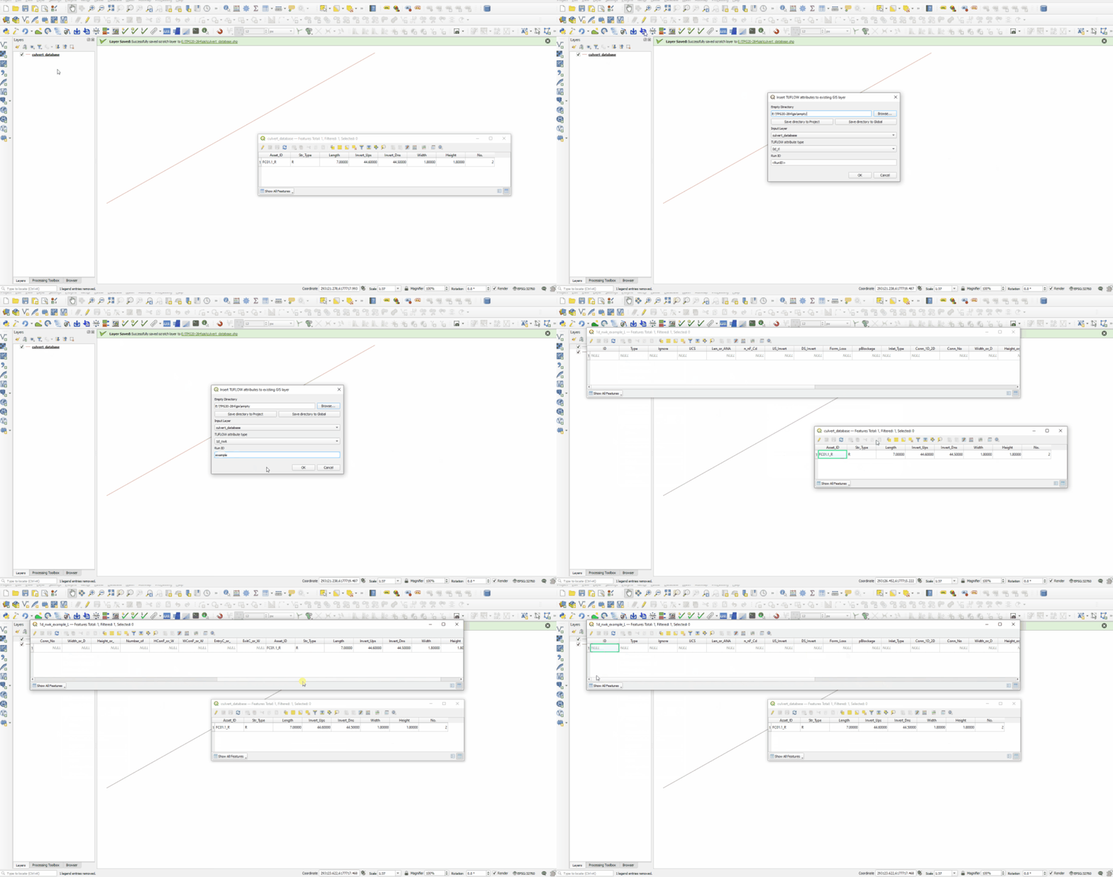
Example
| Up |
|---|
