Tutorial M10 001 Check Files QGIS: Difference between revisions
Jump to navigation
Jump to search
Content deleted Content added
Created page with "= Introduction = QGIS is used to import the check files and review the dam break.<br> <br> = Method = This tutorial introduces: :* _DEM_Z.flt :*C..." |
No edit summary |
||
| Line 10: | Line 10: | ||
:*[[Check_Files_2d_sh_obj | _sh_obj_check_R.shp]] |
:*[[Check_Files_2d_sh_obj | _sh_obj_check_R.shp]] |
||
:*[[Check_Files_2d_grd | _grd_check_R.shp]] |
:*[[Check_Files_2d_grd | _grd_check_R.shp]] |
||
:*[[Check_Files_2d_bcc_check | _bcc_check_R.shp]] |
|||
:*[[Check_Files_2d_sac | _sac_check_R.shp]] |
|||
Review the check files: <br> |
Review the check files: <br> |
||
| Line 19: | Line 21: | ||
:*'''M10_5m_001_sh_obj_check_R.shp''' |
:*'''M10_5m_001_sh_obj_check_R.shp''' |
||
:*'''M10_5m_001_grd_check_R.shp''' |
:*'''M10_5m_001_grd_check_R.shp''' |
||
:*'''M10_5m_001_bcc_check_R.shp''' |
|||
:*'''M10_5m_001_sac_check_R.shp''' |
|||
<li>Use the 'Apply TUFLOW Styles to Open Layers'. |
<li>Use the 'Apply TUFLOW Styles to Open Layers'. |
||
<li>The DEM_Z grid shows the final elevations (at time 0) used for the model calculations. The elevation changes due to the dambreak are inspected in the Results section.<br> |
<li>The DEM_Z grid shows the final elevations (at time 0) used for the model calculations. The elevation changes due to the dambreak are inspected in the Results section.<br> |
||
| Line 33: | Line 38: | ||
<br> |
<br> |
||
[[File:Animation M10 001 Check 03.gif]]<br> |
[[File:Animation M10 001 Check 03.gif]]<br> |
||
<br> |
|||
<li>The sac_check contains information on the lowest cells for each SA boundary region. The upstream 2d_bc QT inflow was replaced with a 2d_sa inflow. |
|||
<li>The bcc_check contains information on the 2D boundaries, it shows the cells conveying water out of the model selected by the 2d_bc HQ type boundary (based on a slope).<br> |
|||
<br> |
|||
[[File:Animation M10 001 Check 04a.gif]]<br> |
|||
</ol> |
</ol> |
||
<br> |
<br> |
||
Revision as of 23:25, 12 May 2022
Introduction
QGIS is used to import the check files and review the dam break.
Method
This tutorial introduces:
Review the check files:
- Open the following files from the Module_10\TUFLOW\check folder:
- M10_5m_001_DEM_Z.flt
- M10_5m_001_zsh_zpt_check_P.shp
- M10_5m_001_vzsh_zpt_check_P.shp
- M10_5m_001_sh_obj_check_R.shp
- M10_5m_001_grd_check_R.shp
- M10_5m_001_bcc_check_R.shp
- M10_5m_001_sac_check_R.shp
- Use the 'Apply TUFLOW Styles to Open Layers'.
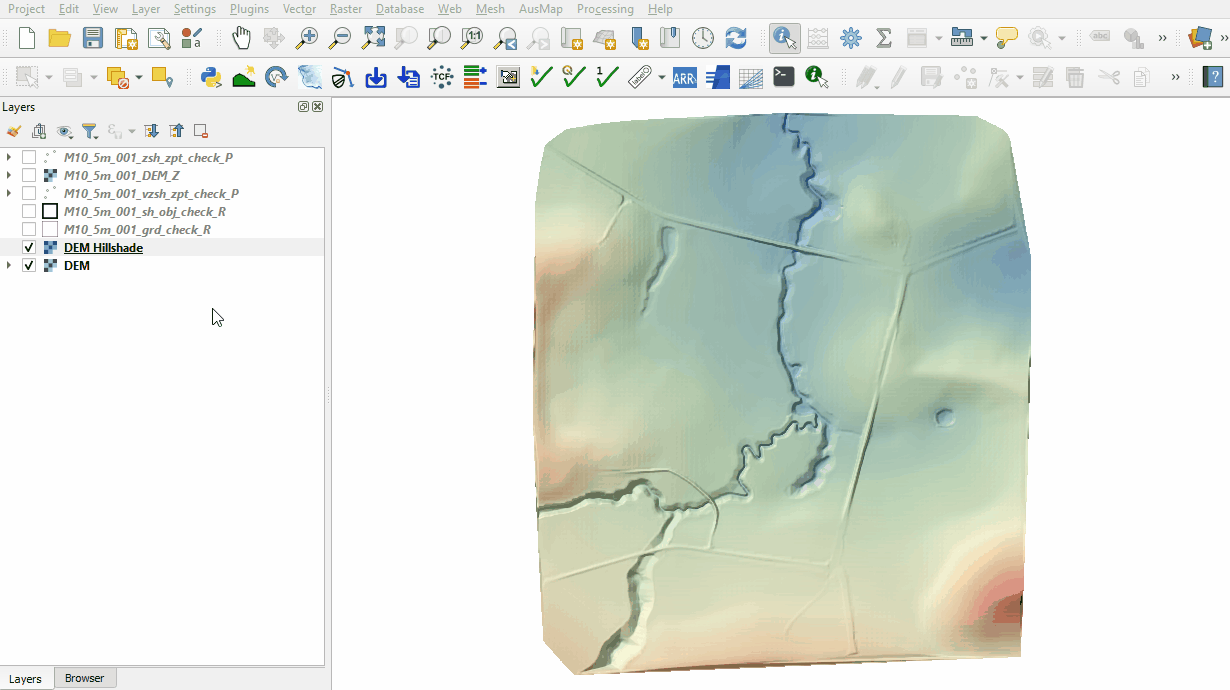
- The DEM_Z grid shows the final elevations (at time 0) used for the model calculations. The elevation changes due to the dambreak are inspected in the Results section.
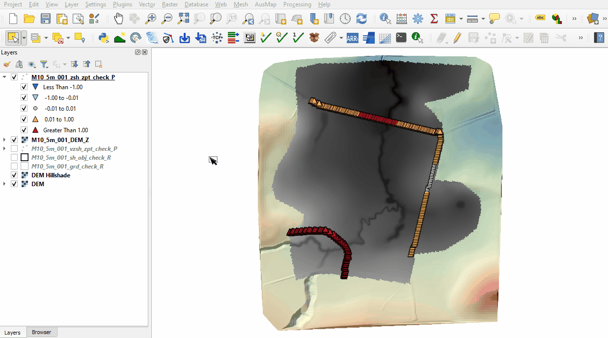
- The zsh_zpt_check file contains the Zpts modified by the 2d_zsh layers with updated elevation, change in elevation and source layer. The Shape_Width attribute is specified the same as the cell size, a thick breakline is used with entire cells being modified. The TUFLOW style colour codes the symbols based on the amount raised, or lowered.
- The vzsh_zpt_check file contains information on the elevation points that change over time, elevation change, final elevation and trigger conditions.
- The sh_obj_check file displays the TIN triangles created by TUFLOW during the model initialisation and is useful to review for all merge polygons.
- The grd_check is the 2D grid defined by the 2d_code layer and contains a region object for each cell with attributes, e.g. the IWL.
- The sac_check contains information on the lowest cells for each SA boundary region. The upstream 2d_bc QT inflow was replaced with a 2d_sa inflow.
- The bcc_check contains information on the 2D boundaries, it shows the cells conveying water out of the model selected by the 2d_bc HQ type boundary (based on a slope).


Conclusion
- The topographic modifications representing the dam wall, dam break and initial water level were inspected.
| Up |
|---|