Tutorial M10 001 Check Files QGIS GPKG: Difference between revisions
Jump to navigation
Jump to search
Content deleted Content added
| Line 32: | Line 32: | ||
<li>The zsh_zpt_check file contains the Zpts modified by the 2d_zsh layers with updated elevation, change in elevation and source layer. The Shape_Width attribute is specified the same as the cell size, a thick breakline is used with entire cells being modified. The TUFLOW style colour codes the symbols based on the amount raised, or lowered. <br> |
<li>The zsh_zpt_check file contains the Zpts modified by the 2d_zsh layers with updated elevation, change in elevation and source layer. The Shape_Width attribute is specified the same as the cell size, a thick breakline is used with entire cells being modified. The TUFLOW style colour codes the symbols based on the amount raised, or lowered. <br> |
||
<br> |
<br> |
||
[[File: |
[[File:Animation_M10_GPKG_001_Check_01.gif]]<br> |
||
<br> |
<br> |
||
<li>The vzsh_zpt_check file contains information on the elevation points that change over time, elevation change, final elevation and trigger conditions.<br> |
<li>The vzsh_zpt_check file contains information on the elevation points that change over time, elevation change, final elevation and trigger conditions.<br> |
||
<li>The sh_obj_check file displays the TIN triangles created by TUFLOW during the model initialisation and is useful to review for all merge polygons.<br> |
<li>The sh_obj_check file displays the TIN triangles created by TUFLOW during the model initialisation and is useful to review for all merge polygons.<br> |
||
<br> |
<br> |
||
[[File: |
[[File:Animation_M10_GPKG_001_Check_02.gif]]<br> |
||
<br> |
<br> |
||
<li>The grd_check is the 2D grid defined by the 2d_code layer and contains a region object for each cell with attributes, e.g. the IWL. <br> |
<li>The grd_check is the 2D grid defined by the 2d_code layer and contains a region object for each cell with attributes, e.g. the IWL. <br> |
||
<br> |
<br> |
||
[[File: |
[[File:Animation_M10_GPKG_001_Check_03.gif]]<br> |
||
<br> |
<br> |
||
<li>The sac_check contains information on the lowest cells for each SA boundary region. The upstream 2d_bc QT inflow was replaced with a 2d_sa inflow. |
<li>The sac_check contains information on the lowest cells for each SA boundary region. The upstream 2d_bc QT inflow was replaced with a 2d_sa inflow. |
||
Revision as of 15:13, 15 June 2023
Page Under Construction
Introduction
QGIS is used to import the check files and review the dam break.
Method
This tutorial introduces:
Review the check files:
- M10_5m_001_DEM_Z.tif
- M10_5m_001_zsh_zpt_check_P
- M10_5m_001_vzsh_zpt_check_P
- M10_5m_001_sh_obj_check_R
- M10_5m_001_grd_check_R
- M10_5m_001_bcc_check_R
- M10_5m_001_sac_check_R
- Open the files, either:
- In File Explorer, navigate to the Module_10\TUFLOW\check folder, drag and drop M10_5m_001_DEM_Z.tif and the M10_5m_001_Check.gpkg into the QGIS workspace and select the layers (hold Ctrl to select multiple), or
- Within the QGIS Browser Panel, navigate to Module_10\TUFLOW\check\M10_5m_001_Check.gpkg and double click on the layers to open them.
- Use the 'Apply TUFLOW Styles to Open Layers'.
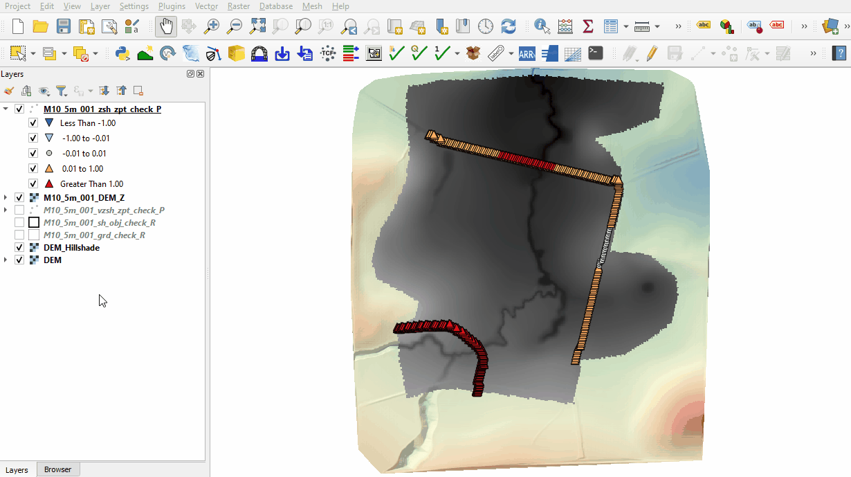
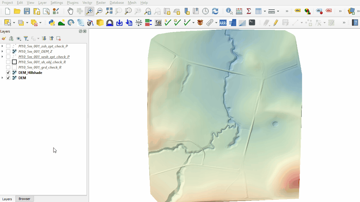
- The DEM_Z grid shows the final elevations (at time 0) used for the model calculations. The elevation changes due to the dambreak are inspected in the Results section.
- The zsh_zpt_check file contains the Zpts modified by the 2d_zsh layers with updated elevation, change in elevation and source layer. The Shape_Width attribute is specified the same as the cell size, a thick breakline is used with entire cells being modified. The TUFLOW style colour codes the symbols based on the amount raised, or lowered.
- The vzsh_zpt_check file contains information on the elevation points that change over time, elevation change, final elevation and trigger conditions.
- The sh_obj_check file displays the TIN triangles created by TUFLOW during the model initialisation and is useful to review for all merge polygons.
- The grd_check is the 2D grid defined by the 2d_code layer and contains a region object for each cell with attributes, e.g. the IWL.
- The sac_check contains information on the lowest cells for each SA boundary region. The upstream 2d_bc QT inflow was replaced with a 2d_sa inflow.
- The bcc_check contains information on the 2D boundaries, it shows the cells conveying water out of the model selected by the 2d_bc HQ type boundary (based on a slope).


Conclusion
- The topographic modifications representing the dam wall, dam break and initial water level were inspected.
| Up |
|---|